It's been five years since my last real tour. There have been the occasional overnighters, sometimes with the kids. My recent focus has been primarily on single day events and races. I want to get back into touring though, and hopefully on a larger scale. This reintroduction was a realization not only of limitations, but also of personal preferences. Maybe what I seek is not physical accomplishments, but rather simple exploration.
My first tour on a road/gravel bike, I had intended to complete most of Bickpacking.com's Three Ranges in Cowboy Country route. I completed less than half the total distance.
The journey began with an early morning drive to the town of Bridger. I arrived at the Montana state fishing access site, where I planned to leave my vehicle, a little before nine. Having everything packed a few days beforehand, all I had to do was slap on the panniers and I was on my way. I had hoped to make it to Red Lodge before noon so I could grab a quick lunch before the gruelling climb up Beartooth Pass.
Growing up near here, I had occasionally driven between Bridger and Cody, but the Bear Creek cutoff between Belfry and Red Lodge was new to me. Aptly named, Bear Creek was the only time I had seen any sign of bears the entire trip. Scat littered the side of the road on more than one occasion; berries so fresh they probably still tasted sweet. This valley was also home to the Smith Creek mine, home to the worst mining disaster in American history, the remnants of which are still visible from the road. I received my daily dose of history with a little climbing - 2200 feet in the first 23 miles.
I made it into Red Lodge before noon, but with fresh legs and the morning's breakfast burrito still in my tummy I decided to press on without stopping for lunch.
The first ten miles of the pass were laughably easy, only gaining 1000 feet. It wasn't until Lake Fork Road did the real climbing start. If you've never been on the Beartooth highway before, the climb is steady, but there is no reprieve. It is a constant climb. It gains another 4300 feet over the next 27 miles.
Vista Point provided a nice stopping point mid-afternoon. It's about halfway to the top, right after the iconic switchbacks. It was here that I bumped into another pair of bikepackers. They were headed back to Red Lodge after spending a couple nights on the other side of the pass. Obviously from northern Europe, I had difficulties understanding their English. It's always neat to see how the love of a simple thing like bicycles can bring together people from such vastly different backgrounds.
A thousand feet above treeline, you think you've reached the top when you see the Beartooth Basin ski lifts, the only summer ski area in the lower 48 (closed for the 2024 season and currently for sale). But, that's when you look up and see the switchbacks in the distance. The road drops 400 feet before climbing back up to the true summit. Coloradans may scoff, but the 10,947 foot summit has more true elevation gain than many 14ers. From Bridger to the top accumulated 7300 feet over 54 miles.
Being close to Labor Day weekend, there was a surprising lack of cars the entire way. There were only a handful of people at the top taking pictures of the iconic sign. I also had to partake in a photo op for the bike. The biggest climb of my life (so far), it was akin to finishing a big race. Emotions were high, and it was nice to have some people to share it with.
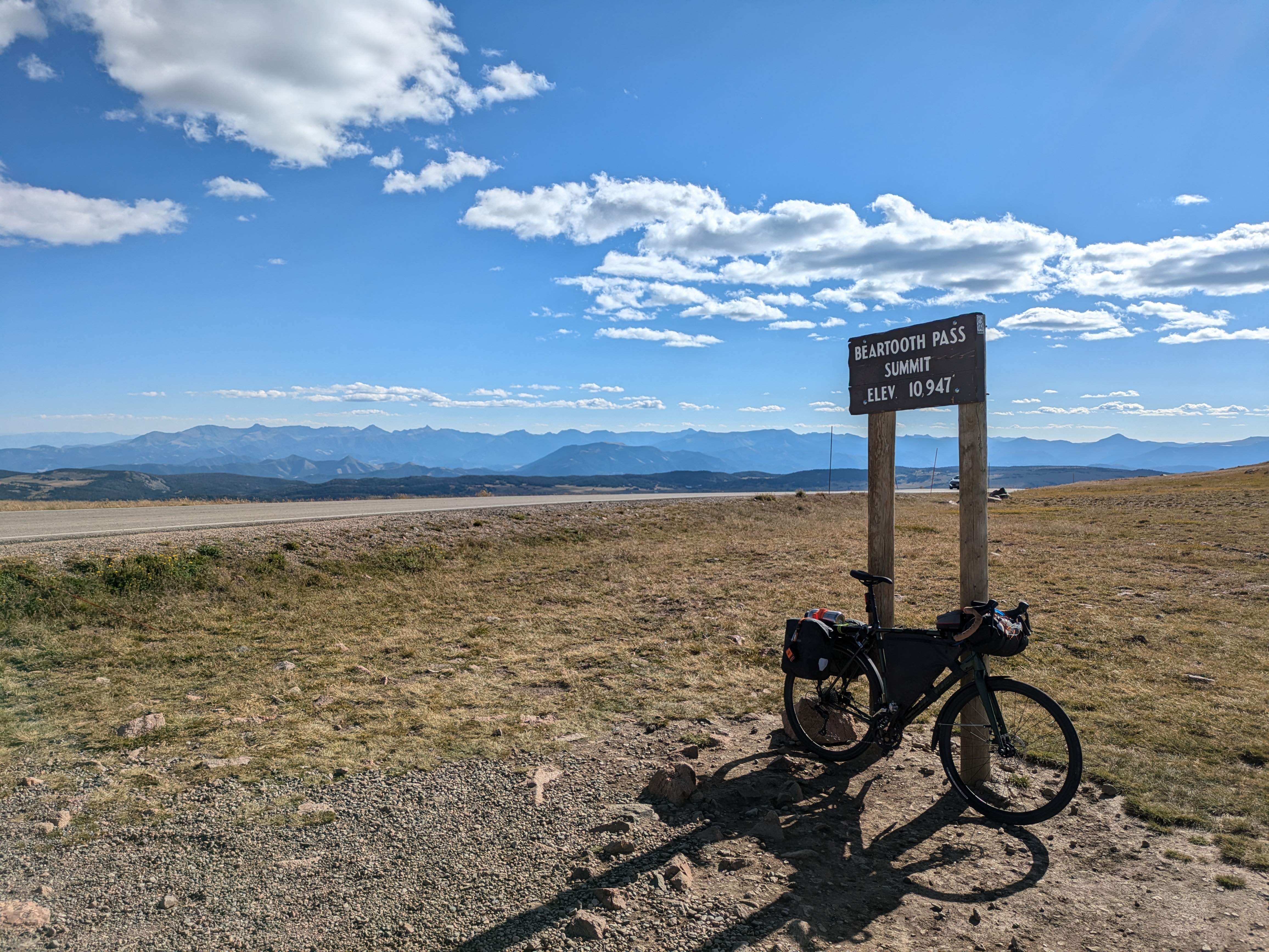
Summit
I drank my entire four liters of water on the way up. I probably should have filtered more before the first switchbacks. But, that was all in the past now with an easy downhill to finish up the day. I pulled off at one of the alpine lakes on the way down to filter a liter to get me through the remaining twenty miles. A jeep pulled in behind me, and out pops three guys I met at the top. They were on their way to Yellowstone from Ohio and wanted to know more about my trip. They threw a bottle of gatorade and a gallon of water my way as we exchanged pleasantries. But, it was pushing early evening and they had to make it to their camp site, so I had to wish them well.
Way Down
You won't be able to find much for dinner near the top of the world, except for an exorbitantly priced Costco muffin at the Top of the World store. It was the best damn Costco muffin I have ever had in my life. Pumpkin spice, to boot. Washed down with purple gatorade.
That night I was the only person camped at Lake Creek campground just after the turnoff onto the Chief Joseph Highway. I slept like a baby next to the waterfall.
Lake Creek Campground
At the tail end of a cold front, the night saw below freezing temperatures at elevation. My water bottle and bladder had a thin layer of frost at 6am. Fortunately I came prepared with plenty of layers to embrace the cold. The following week would see temperatures pushing mid-90s. I was gunning on getting to Cody by noon, a sixty mile trek, so I was on the road by seven. Most of the layers were off before nine.
Chief Joseph Highway
Chief Joseph Highway is stunning with a different view around every corner. It's even better on a bike. Everything is better on a bike, except for maybe the climb to Dead Indian Summit. The first 25 miles of the morning were pleasant rolling hills. The next eight miles were over 2000 feet of switchbacks. I took a lesson from the day before and made sure I filtered all the water I needed before the climb started.
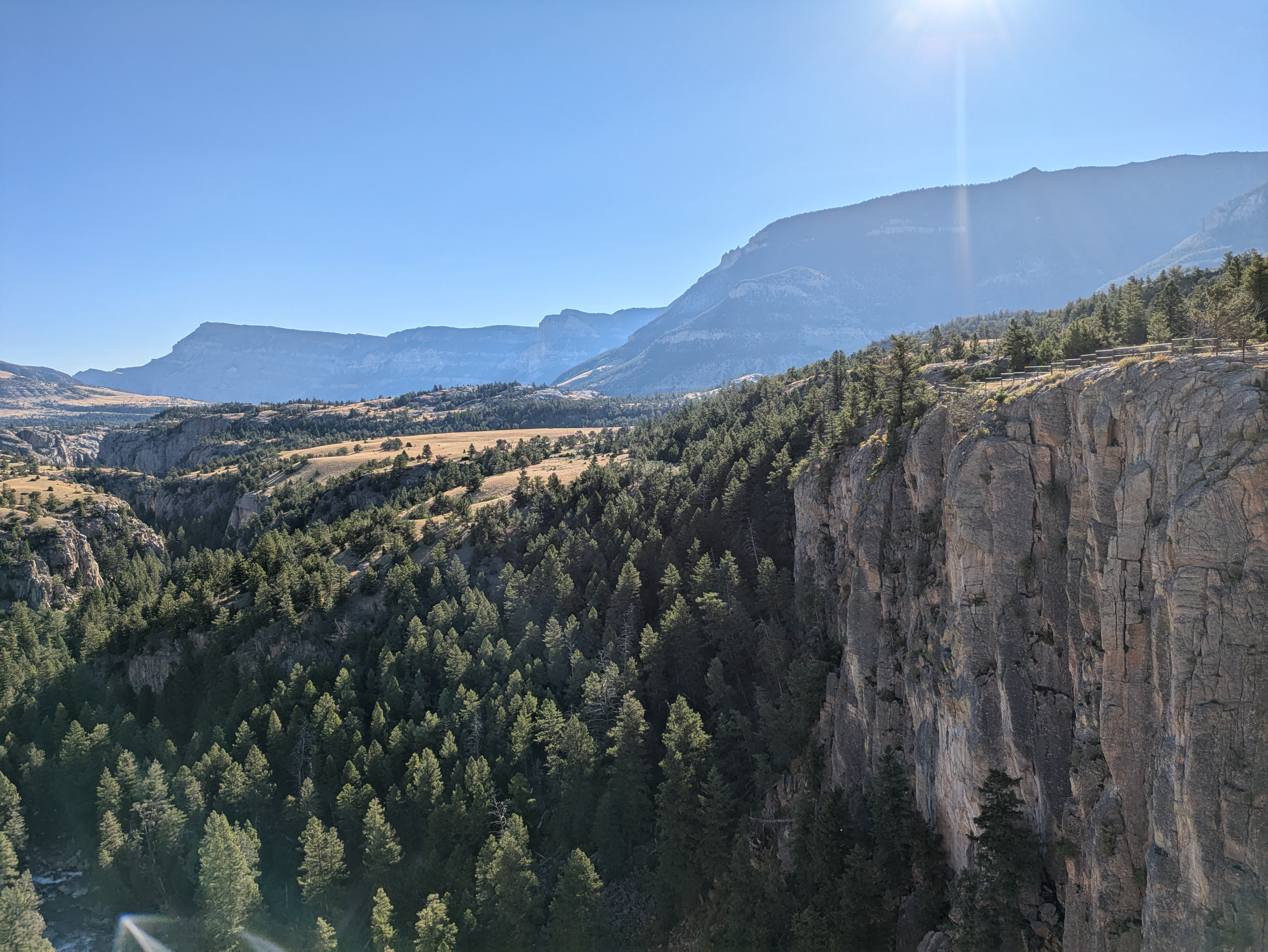
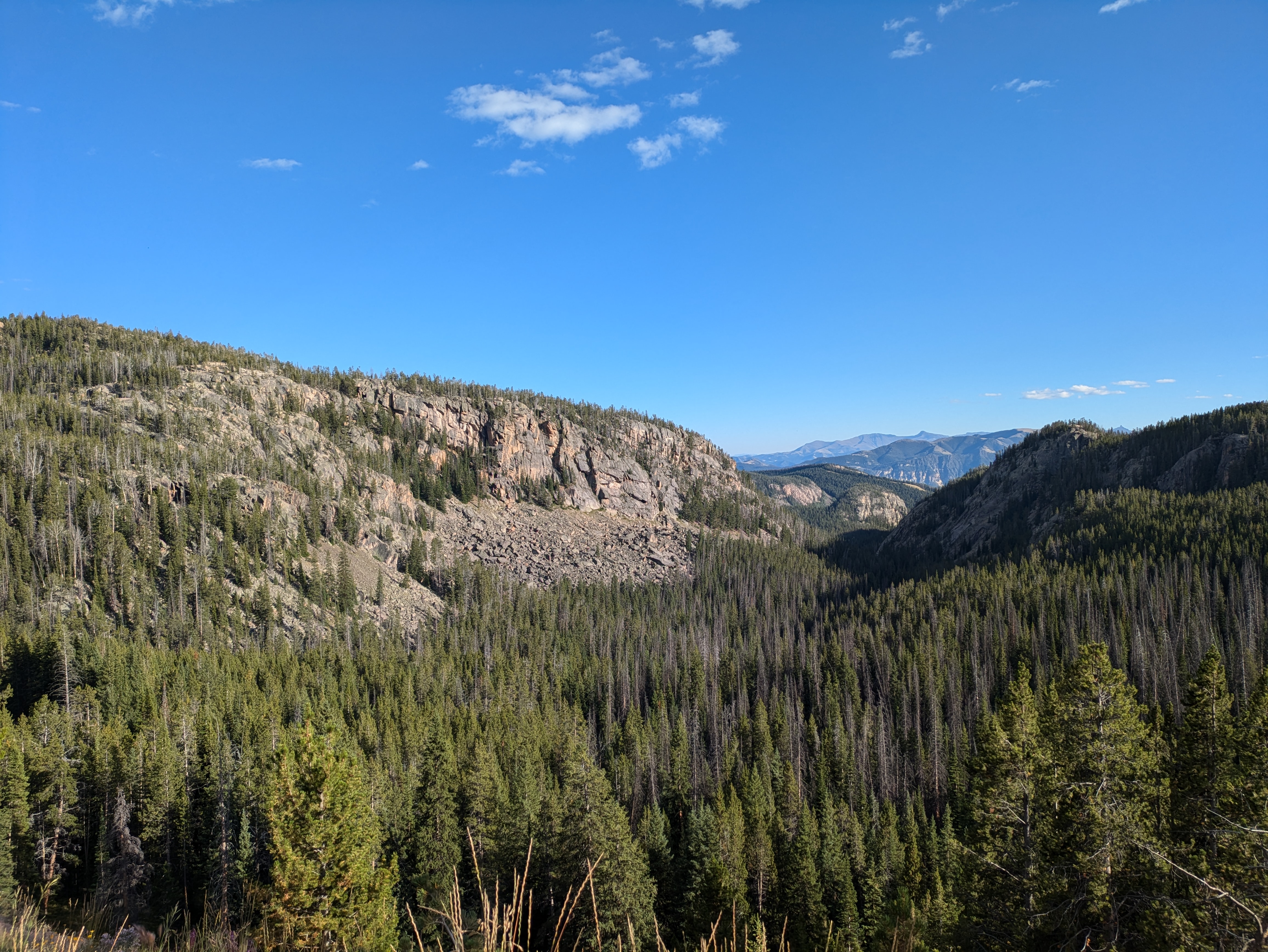
Clarks Fork Canyon
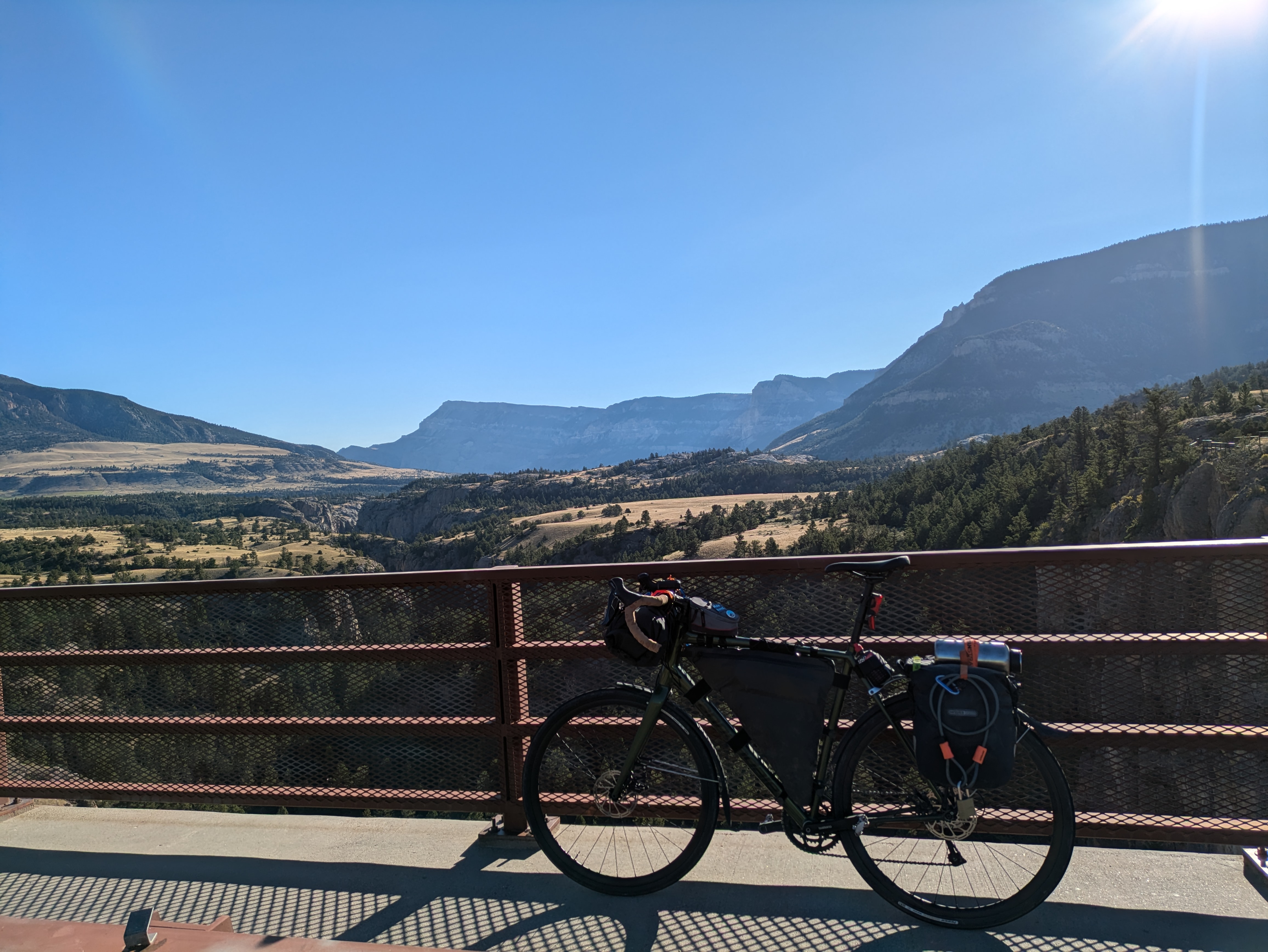
Sunlight Bridge
Fortunately, the climb was relatively short in comparison to the day before. I didn't have to drop into my granny gear more than a couple of times. However, in hindsight I should have taken more time to rest once I reached the top. I just snapped a photo and took off down the other side. It was already nearly 11am by the time I reached the top, and I had only covered a little over half of the distance to Cody. Even though the rest of the way was mostly downhill (I thought), there was no way I would reach the city by noon.
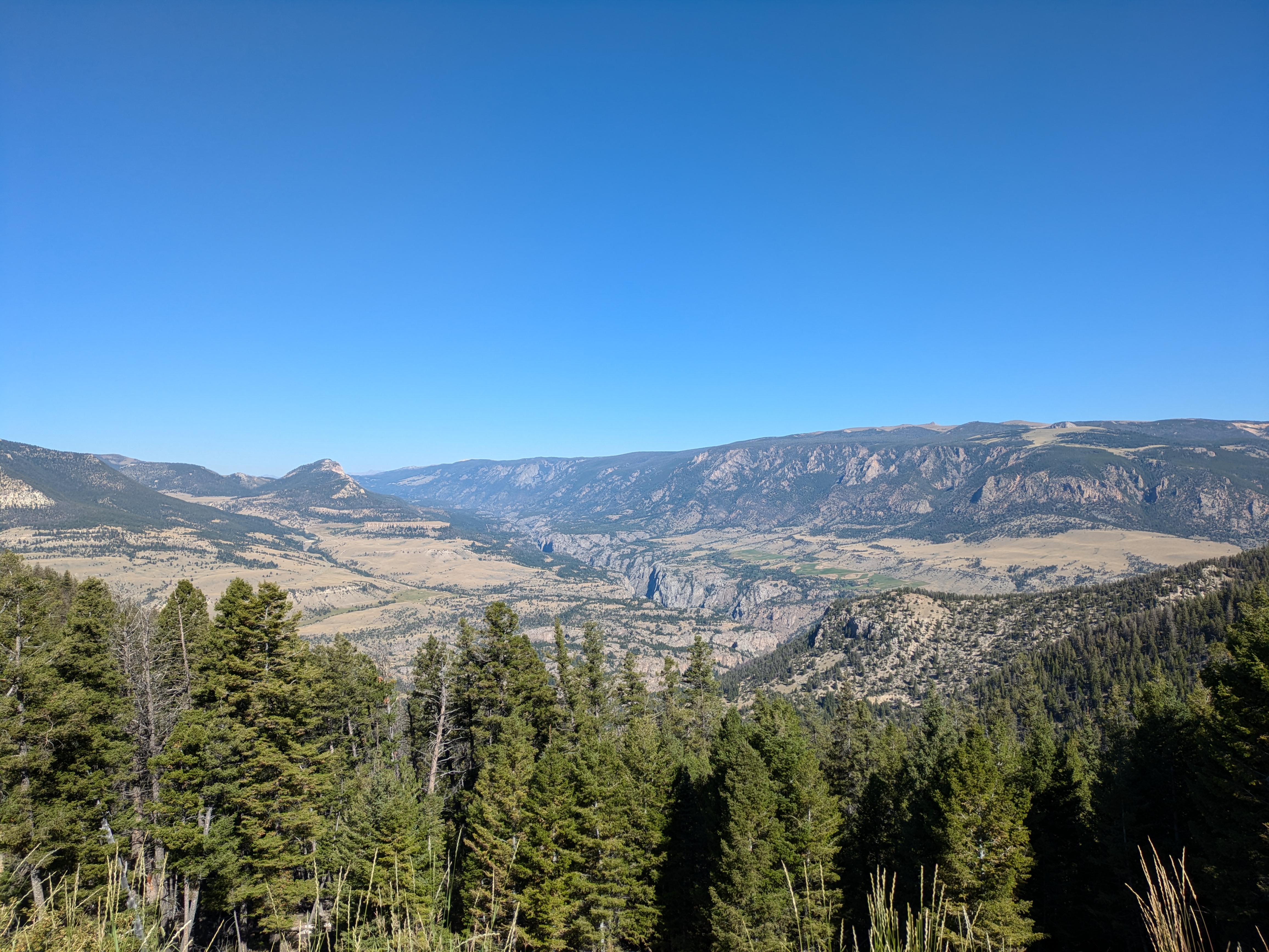
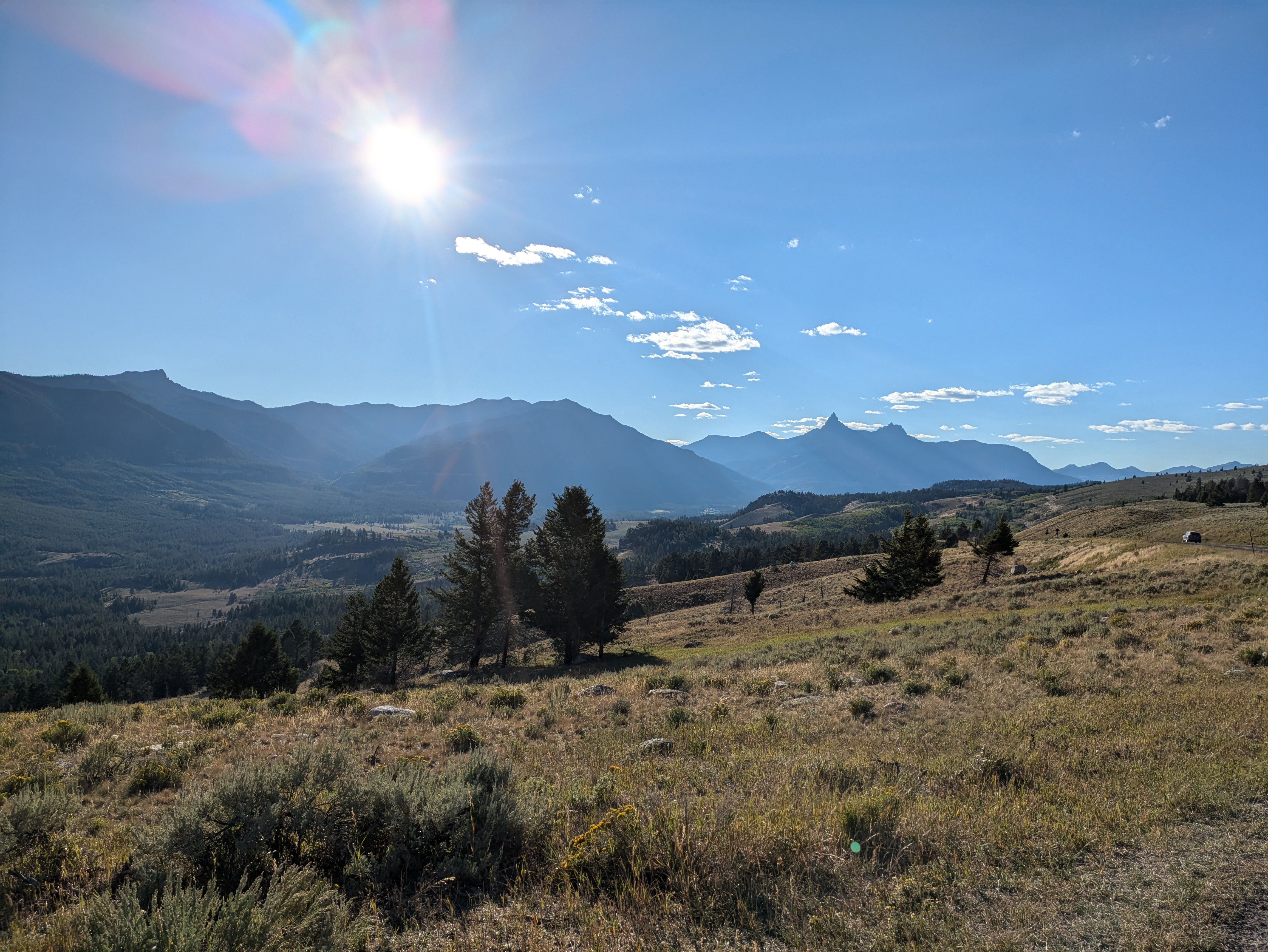
Dead Indian Climb

Dead Indian Summit
Maybe it was over-exertion the day before, maybe it was the stress of not getting to Cody when I wanted, or maybe it had something to do with the fifty degree temperature swing, but there was an obvious turning point when I reached the intersection with Belfry Highway. Another thousand foot climb on the asphalt would bring the morning's total to nearly five thousand. No shade. Unlike the others, this road had traffic. An hour and a half to ride the remaining twenty miles into town felt like an eternity. I was overheated and frustrated. I was beginning to dread a night on treeless BLM land.
No More Shade
I pulled into town at 1:30 in the afternoon and jump into Walgreens to pick up some much needed sunscreen, water, and air conditioning. If I wanted to make the remaining fifty miles today, I wouldn't have time to stick around. Decision point; be miserable the rest of the day and possibly finish the tour, or cut my losses and enjoy my time. An easy choice with Legacy Burger Company calling my name right down the street.
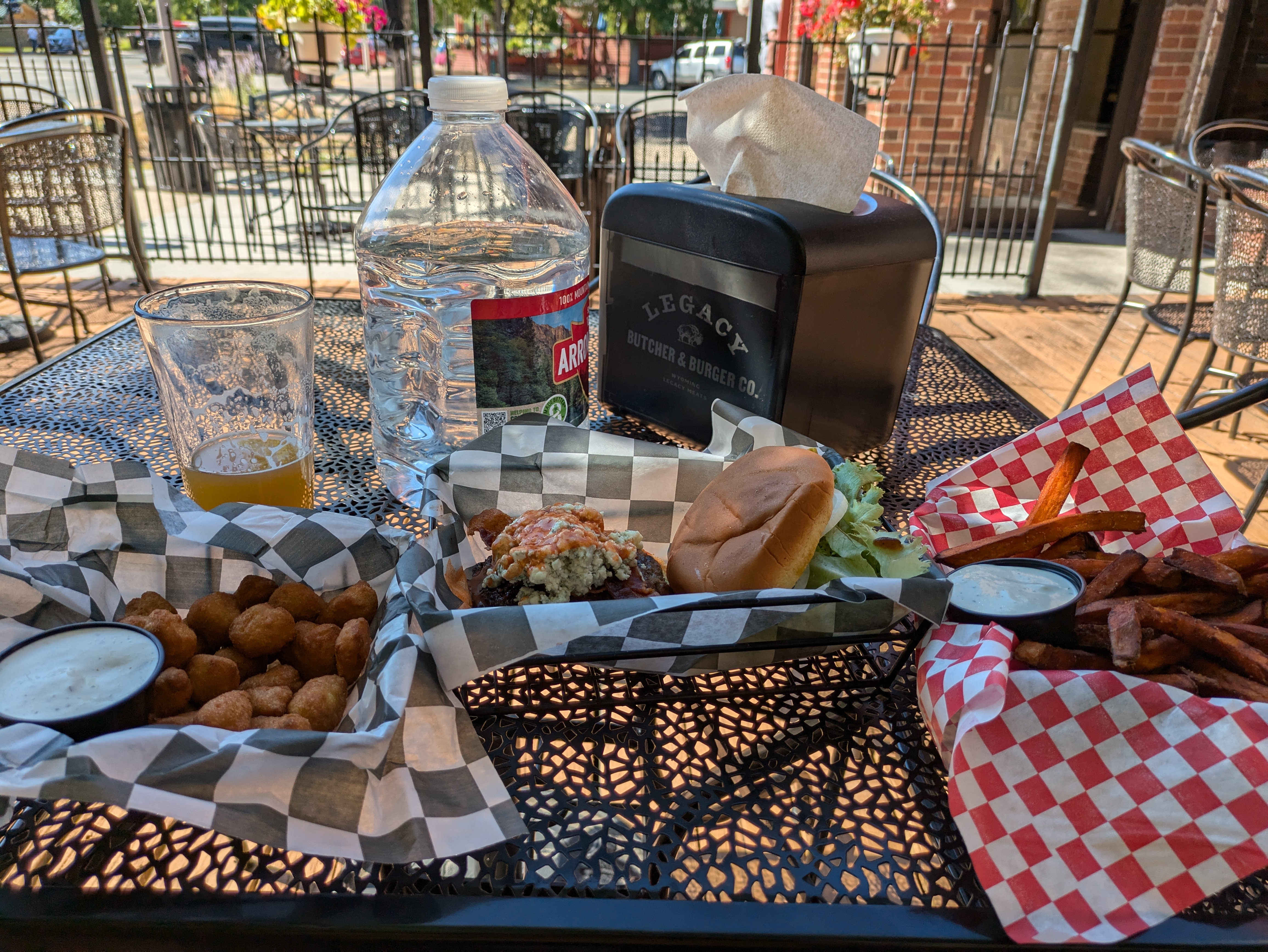
Calories
Polishing off more than a normal days' calories in bison, beer, and fried munchies, I began to feel more mentally aware. Aware enough to realize that I was not physically capable of the task I had originally set out upon. I made the decision to not camp out on BLM land, where temperatures wouldn't drop below 80 until after sunset, and called in to reserve a tent site at an in-town campground. It was a short pedal up to the Ponderosa where they set me up with a nice shady spot next to the creek, complete with a picnic table, bathrooms, and (ahh!) showers! At $40, it's the most I have ever spent for a tent site. But, it's difficult to argue price in a tourist town on Friday night of Labor Day weekend.
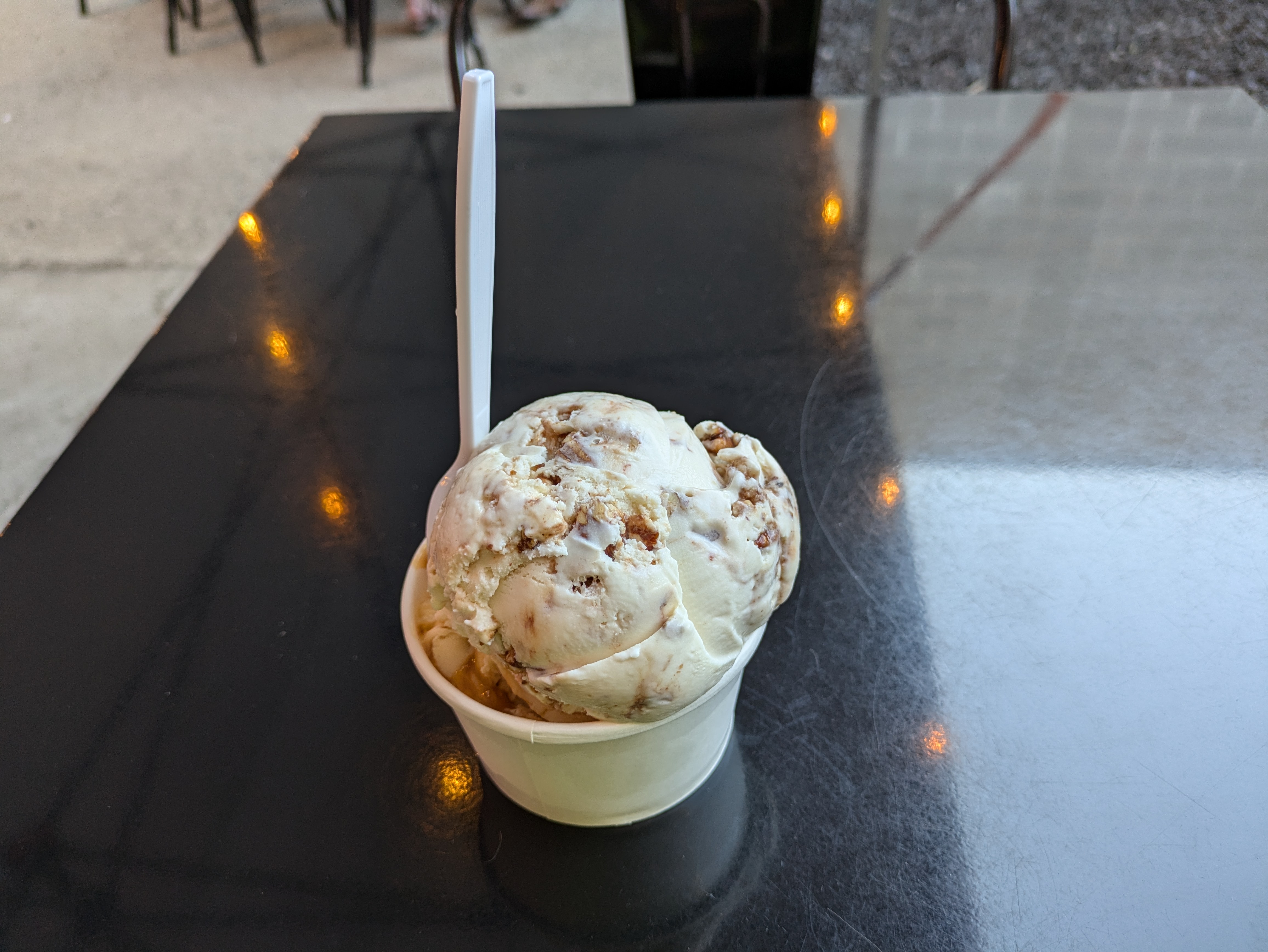
After a short nap, cold shower, and setting up my site, I spent the remainder of the evening continuing my calorie replenishment. The one thing I do really enjoy about bicycle touring is being able to explore towns at a more relaxed pace. Two local breweries, a local creamery, and an old Western play on Main Street later, I get back to the Ponderosa as the sun creeps behind the mountains. Before crawling into my tent, I have a nice chat with another (motor)bike tourist camped out next to me. He was up from Yuma, headed in the opposite direction as I was. Considering himself ultra-light, the only thing he had that I didn't was a folding camp chair and a gas tank.
More Calories
That night, I made the plan to finish the eastern half of my tour when I had more time to experience it. I would head back to Bridger the next day, through Powell.
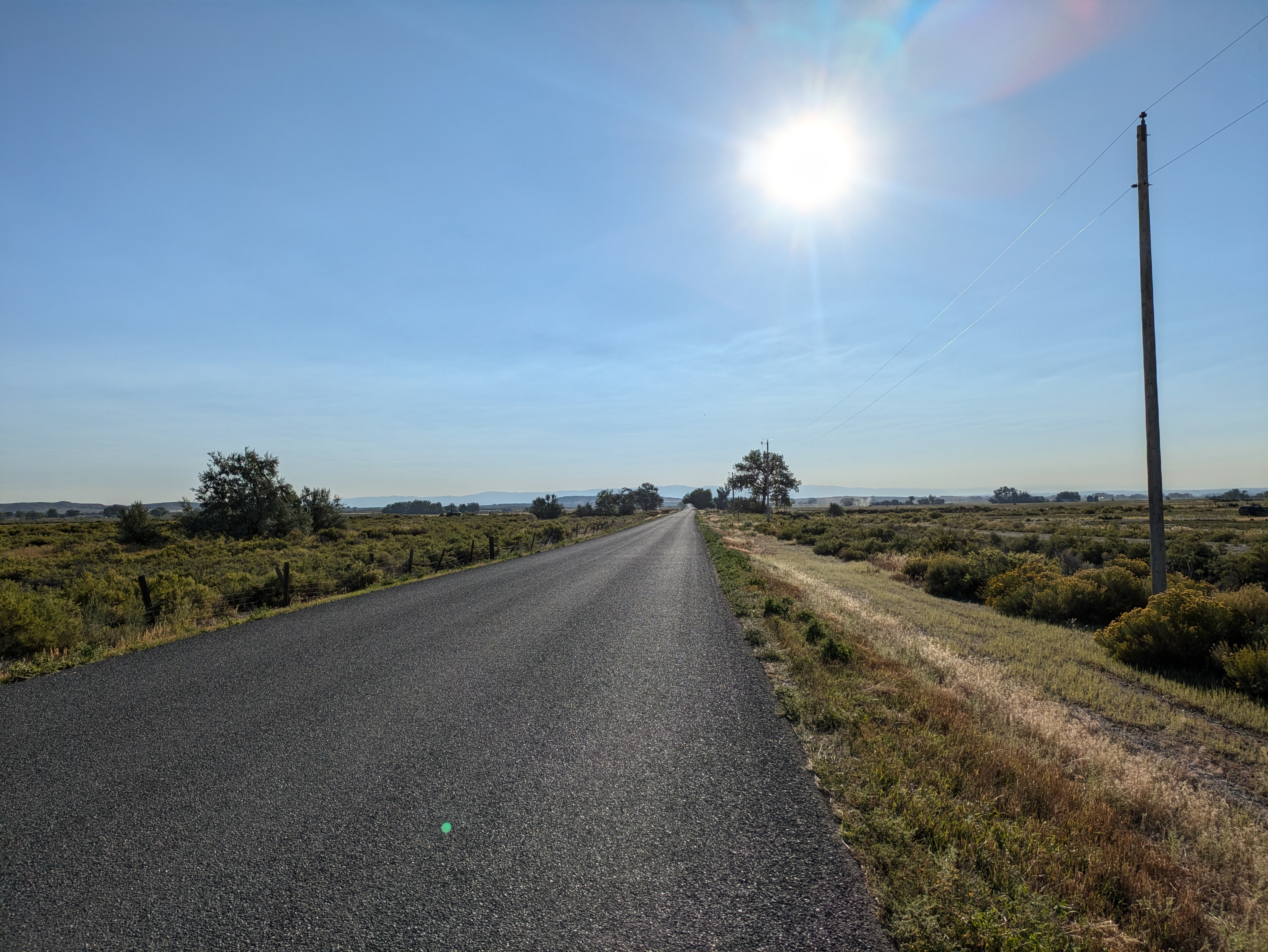
Still not 100% this morning, but I think that had more to do with the breweries than anything else. I sure know how to properly recover, don't I? It was an early start before sunrise. Even though today would truly be an overall deficit in elevation, it would still be nearly eighty miles. I hoped to stay away from the sun as much as possible given the afternoon would be in the mid-90s. One of the only breakfast spots open before 7am, The Station, was decent. I'm not a crepe fan, so I had to settle for a cold sandwich (no egg sammies?). But, the locally roasted coffee was excellent. What really caught my eye, though, was the food truck across the street. Yoder's Donuts. One plain glazed donut, please.
It was better than Granny's. (IYKYK)
I'm out of town just as the sun peaks up over the distant Bighorn mountains. The same mountains my original itinerary would have had me climbing later this afternoon. Entirely downhill, Powell was a short twenty five miles away. I roll in just after eight and take a short tour through Northwest College before heading north on the backroads to highway 310. On a random corner on one of these backroads, I stumbled across a well-kept historical marker about the valley's reclamation project and Buffalo Bill Reservoir.
Backroads
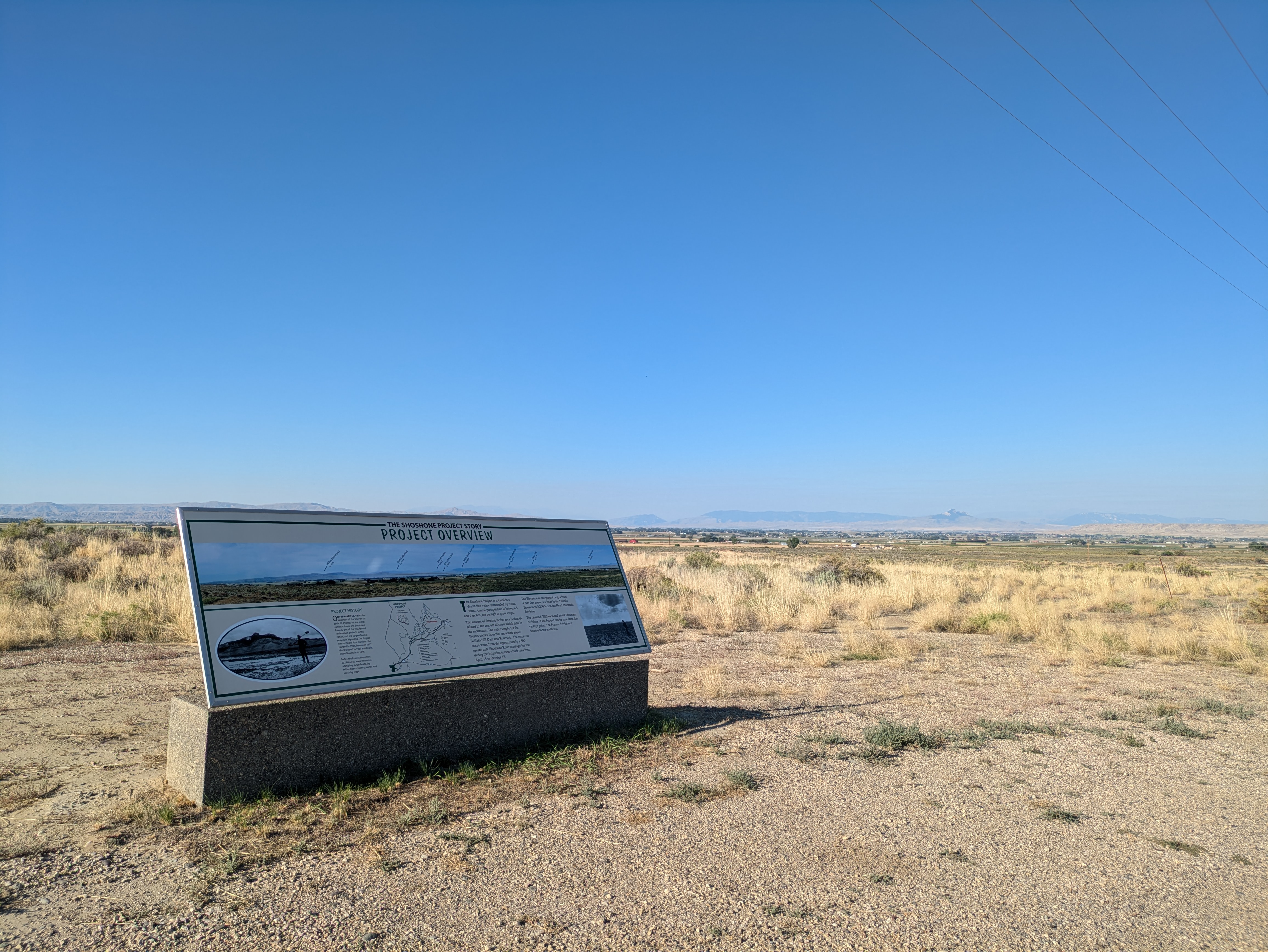
Reclamation
Had I more time to prepare this route, I'm sure it could have been more interesting. Much of the land on this Wyoming/Montana border is littered with oil fields. There are plenty of dirt roads to explore, but at a high risk of trespassing. I found this out pretty quickly as I tried to cut out a small section of highway near Deaver, only to have to backtrack.
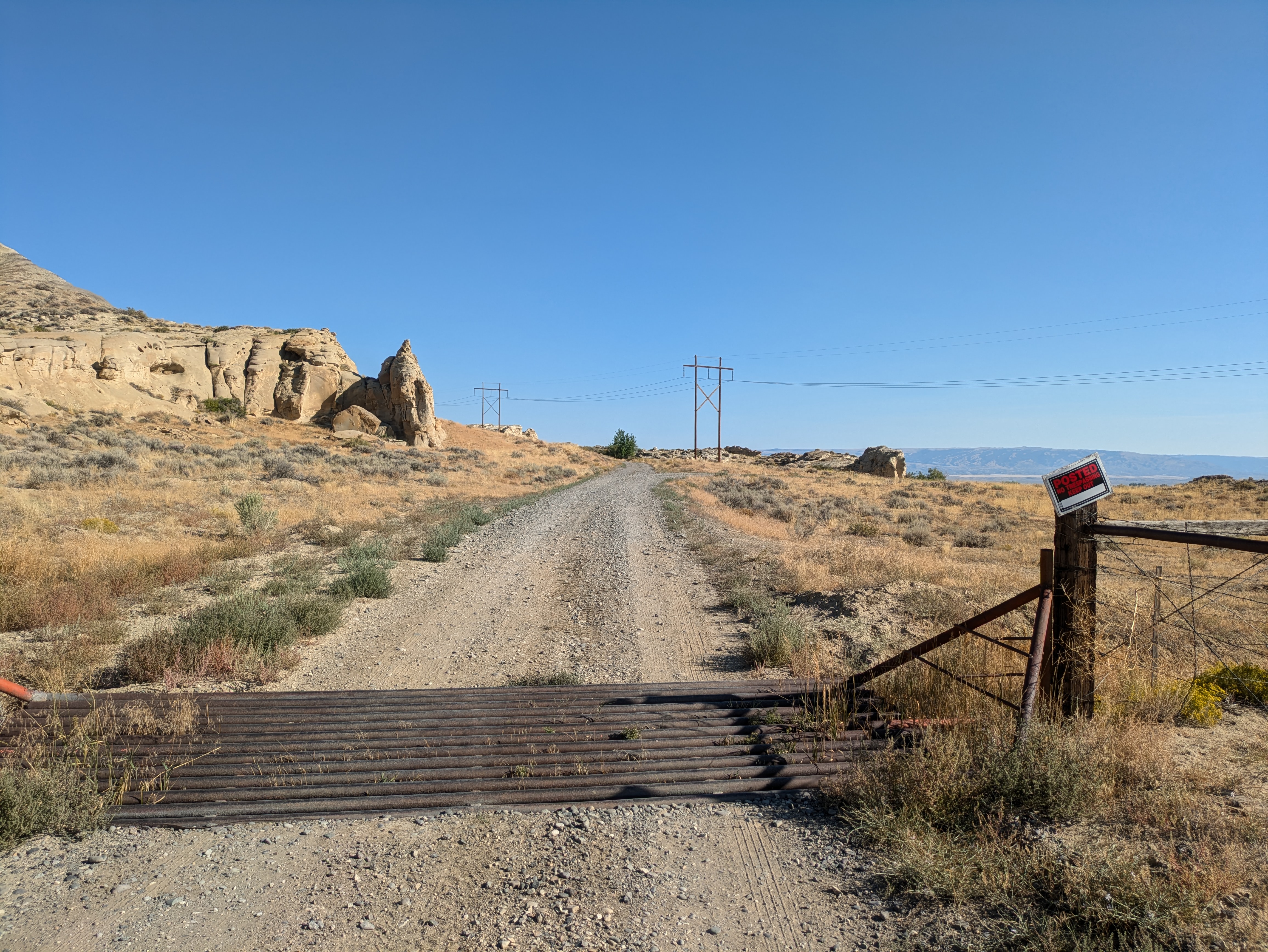
No Trespassing
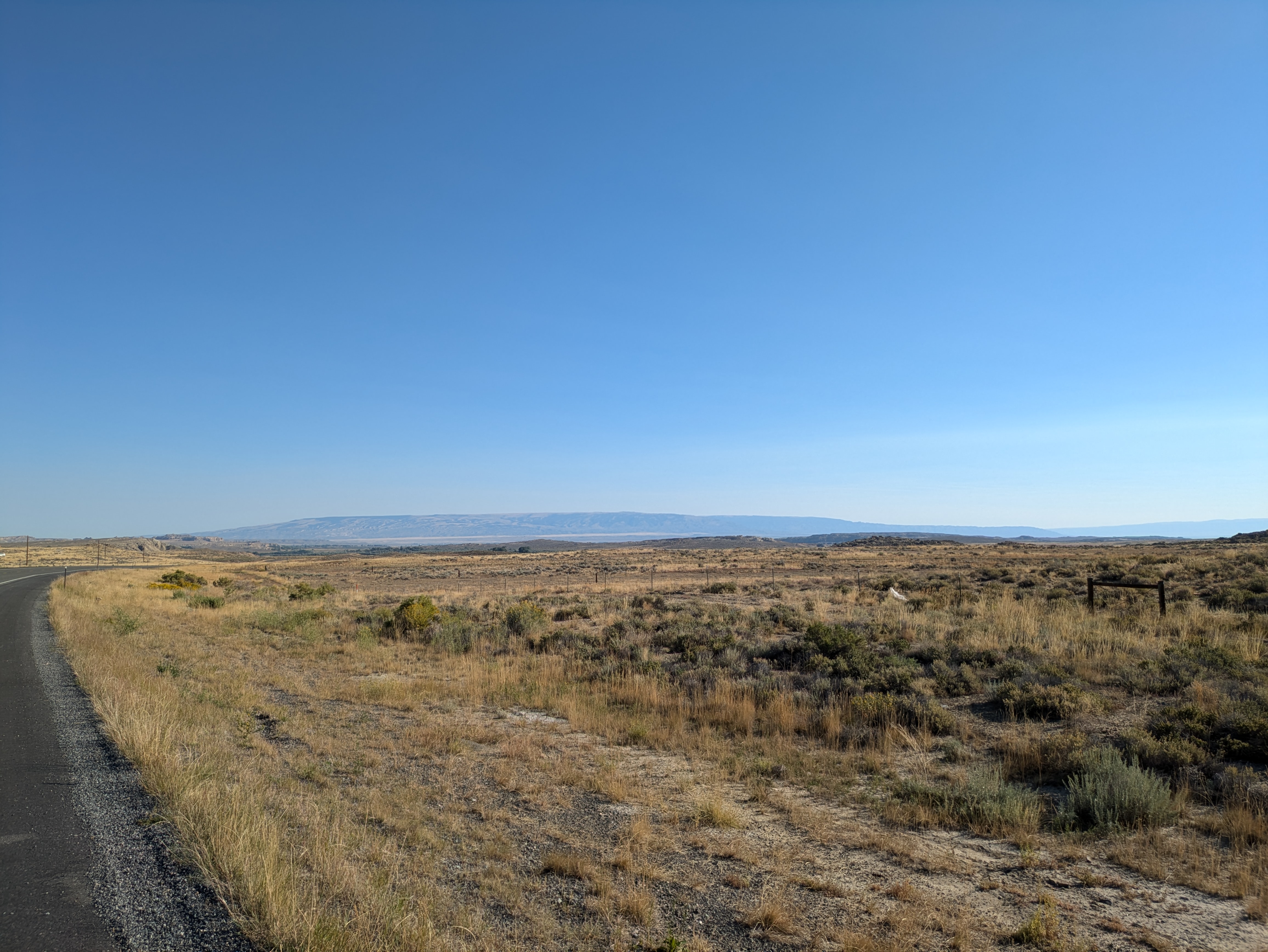
Nearly the entirety of the day's thousand feet of climbing happened right at the state border, and was barely noticeable. What was noticeable, though, was the headwind in the last twenty miles of my journey. What was supposed to be a nice downhill roll into Bridger turned into a slog that felt uphill. Combined with a tire that wasn't holding air (the only mechanical of the trip), what should have been the last hour turned into nearly two and a half.
I pull back into the fishing access site early in the afternoon to find my vehicle just as I left it.
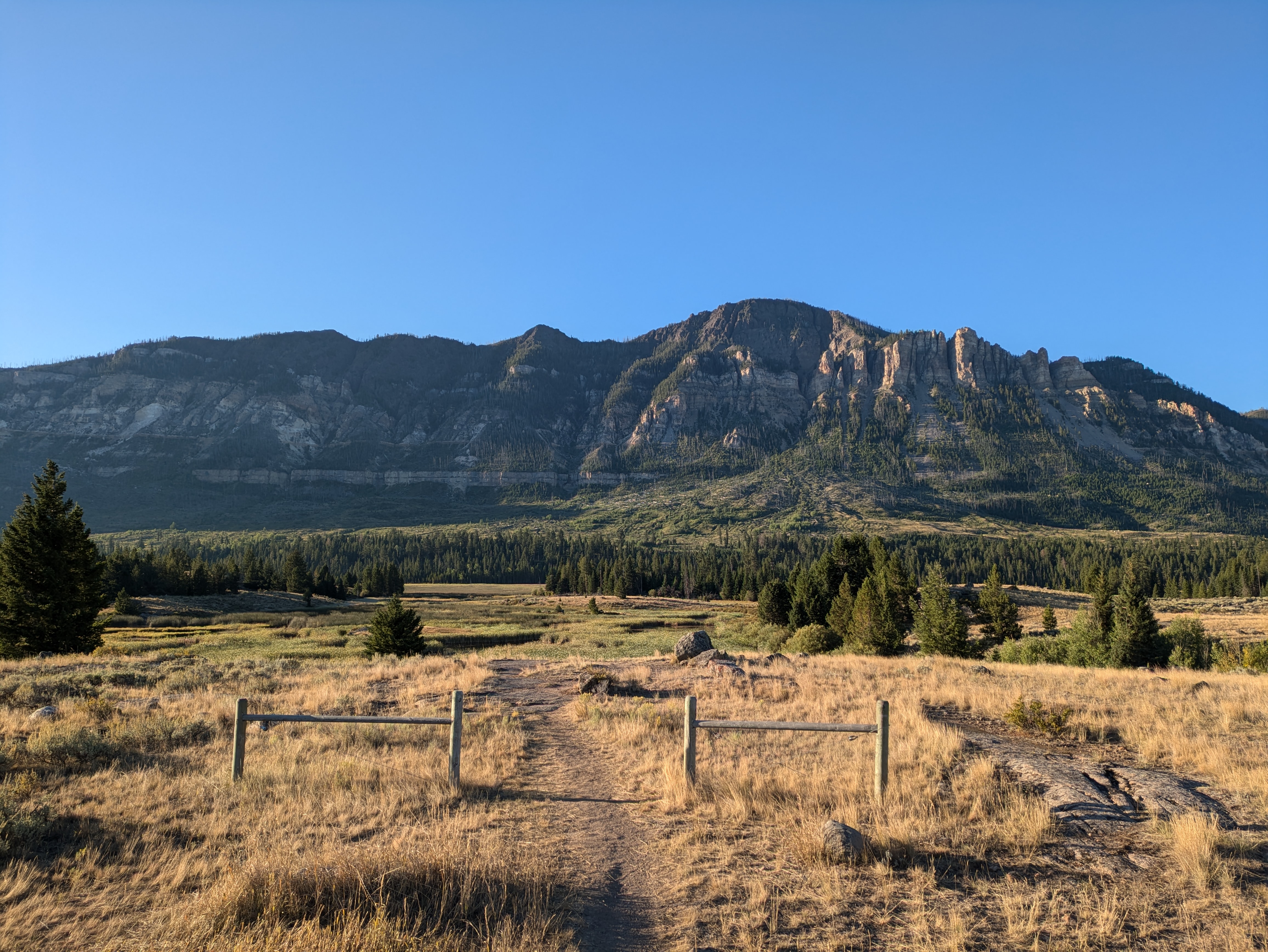
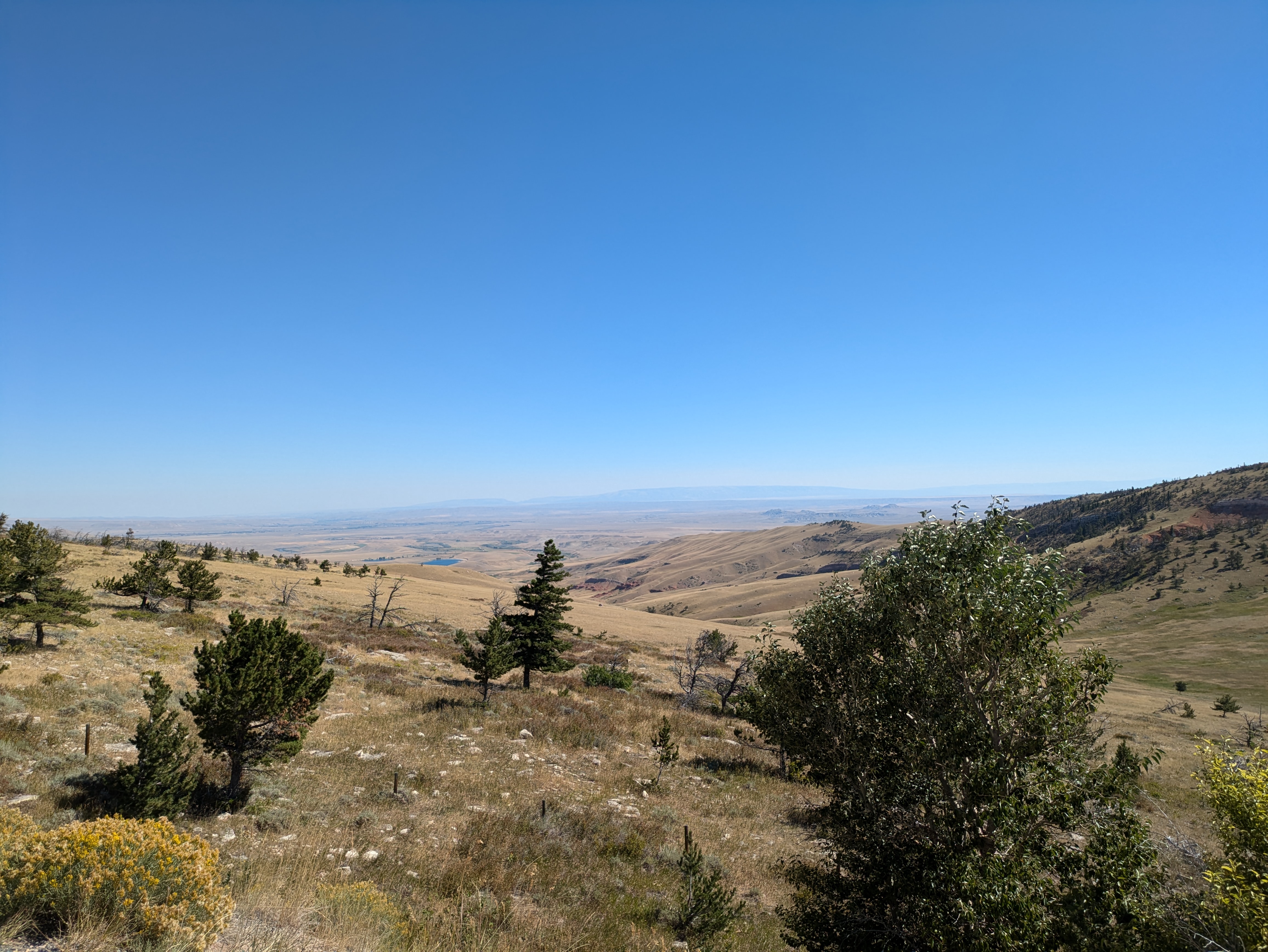
Pryors